

Le Morne -Rouge - Le Carbet

Lamartiniere
User GUIDE

Length
10 km

Max alt
514 m

Uphill gradient
310 m

Km-Effort
15.3 km

Min alt
12 m

Downhill gradient
656 m
Boucle
No
Creation date :
2020-10-06 22:27:03.453
Updated on :
2020-10-06 22:33:47.494
--
Difficulty : Medium

FREE GPS app for hiking
About
Trail On foot of 10 km to be discovered at Martinique, Unknown, Le Morne-Rouge. This trail is proposed by Lamartiniere.
Description
Randonnée d'environ 10 kms. Départ près la Source minérale Champflore direction le musée Gaugin à Anse Turin au Carbet via le Col Yang Ting avec passage près le morne Gaubert.
Positioning
Country:
France
Region :
Martinique
Department/Province :
Unknown
Municipality :
Le Morne-Rouge
Location:
Unknown
Start:(Dec)
Start:(UTM)
702618 ; 1632007 (20P) N.
Comments
Trails nearby
Sainte Cécile/crête du Cournan/Beauvallon


Walking
Medium
(1)
Le Morne-Rouge,
Martinique,
Unknown,
France

7.2 km | 11 km-effort
2h 29min
Yes

Mac Intoch - Morne Capot


Walking
Medium
(1)
Le Morne-Rouge,
Martinique,
Unknown,
France

9.4 km | 14.9 km-effort
4h 53min
No
Fonds saint Denis (Martinique)


Walking
Easy
(1)
Fonds-Saint-Denis,
Martinique,
Unknown,
France

8.2 km | 13.7 km-effort
3h 28min
Yes
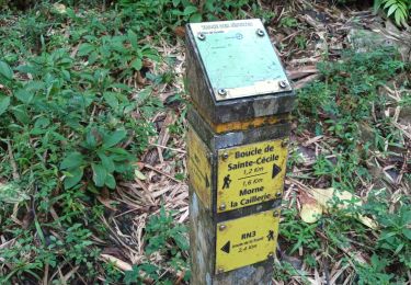
Morne la Caillerie, Trace des Jésuites


Walking
Easy
Le Morne-Rouge,
Martinique,
Unknown,
France

11.2 km | 18.2 km-effort
3h 55min
Yes
Fonds st Denis


Walking
Difficult
Fonds-Saint-Denis,
Martinique,
Unknown,
France

10 km | 15.2 km-effort
3h 11min
Yes
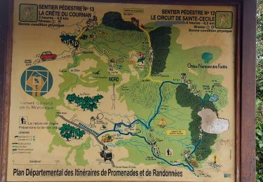
Crête du Cournan boucle


Walking
Medium
Le Morne-Rouge,
Martinique,
Unknown,
France

4.2 km | 8.2 km-effort
2h 15min
Yes
Trace des Jésuites


Walking
Medium
Le Morne-Rouge,
Martinique,
Unknown,
France

5.2 km | 8.8 km-effort
2h 5min
Yes
Morne vert


sport
Very easy
Le Morne-Vert,
Martinique,
Unknown,
France

3.2 km | 4.5 km-effort
Unknown
No
Fond St Denis - Carbet


Walking
Difficult
Fonds-Saint-Denis,
Martinique,
Unknown,
France

8.7 km | 13.8 km-effort
3h 40min
No


 SityTrail


